Forest intelligence
Detecting canopy loss and degradation through multi-temporal Landsat and Sentinel-2 evidence.
14 worksOpen dossier ↗
GHA · EO/01 Senior Lecturer & Geospatial Scientist
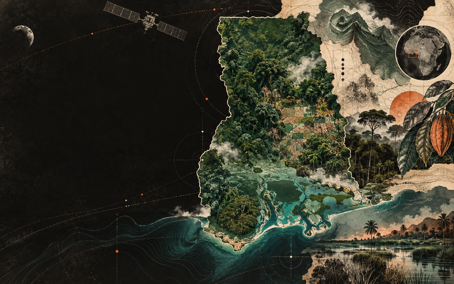
Ing. Dr. George Ashiagbor reads Ghana’s changing landscapes from orbit—turning satellite signals into evidence for forests, cocoa farms, wetlands, and policy.
From pixel to policy
Every pixel can hold a forest edge, a cocoa farm, a wetland under pressure, or a policy decision waiting to be made.
Dr. Ashiagbor’s practice joins orbital observation with ground truth: seeing change, testing what the sensor suggests, and translating evidence into action.
Read the full profile ↗The four territories
Each territory has its own signal, method, and consequence. Together they form a long-term record of environmental change across Ghana.
Detecting canopy loss and degradation through multi-temporal Landsat and Sentinel-2 evidence.
Separating agroforestry from natural forest to support traceable, deforestation-free supply chains.
Using radar to reveal mangroves, lagoon change, and hydrology beneath persistent coastal cloud.
Modelling erosion, urban expansion, and land-use transitions to guide local decisions.
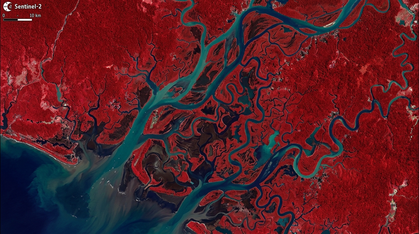 SENTINEL-2 / FALSE COLOUR COMPOSITE
Forest 2020 Ghana
As Remote Sensing Technical Lead, Dr. Ashiagbor helped develop Ghana’s harmonised cocoa-landscape classification—turning complex mosaic landscapes into evidence that institutions can use.
cocoa / agroforestry / remote-sensing
cocoa / food-security / land-use
cocoa / deforestation / remote-sensing
Notes in the margin
Core philosophies linking discipline, rigorous observation, and generational mentorship across the scientific journey.
The next generation will always surpass the previous one.
— Minato NamikazeMentorshipMentorship is not an academic side-note. It is how African geospatial capacity becomes sovereign, enduring, and generational.▶ ROTATING EVERY 10S01 / 06